… even if we don’t currently have a formal board on SimHQ to discuss it.
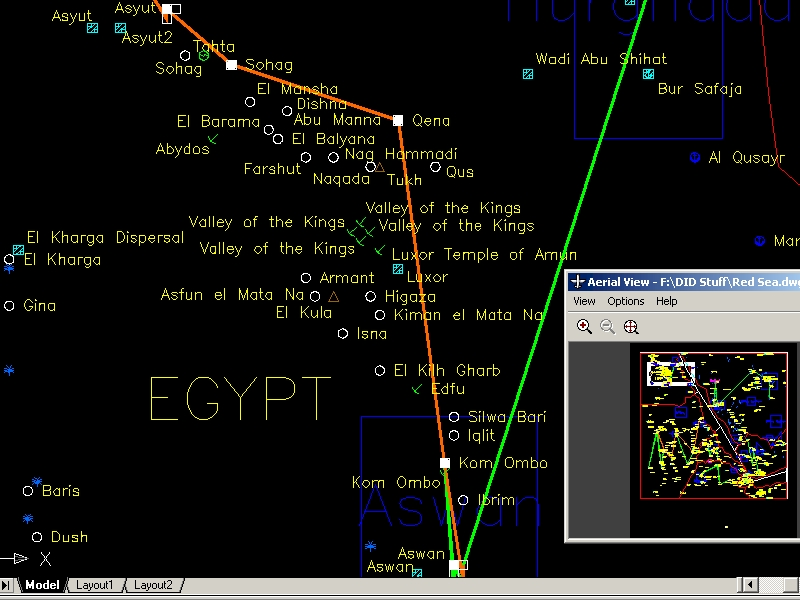
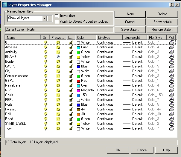
We have our individual projects, one of mine at the moment is mapping out coordinates from the extracted files to an AutoCAD drawing (simply a vector-based database).
Some large pics:
http://198.65.10.229/DID/RS_ACAD.jpg
http://198.65.10.229/DID/RS_ACAD2.jpg
http://198.65.10.229/DID/RS_ACAD5.jpg
BTW, the full map area covers 2.5 million square miles!
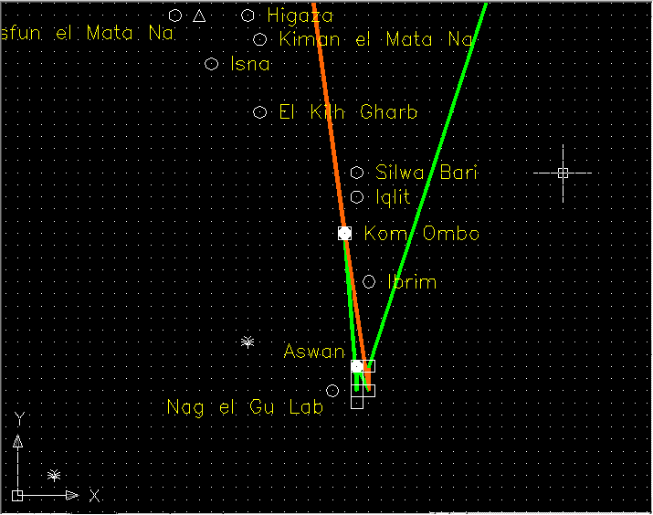
A close-up of Egypt:
Much more to add …
With the help of others, I plan to map out elevations and the rest of TAW’s world, to have a drawing similar to what’s shown in TAW’s ACMI recorder …
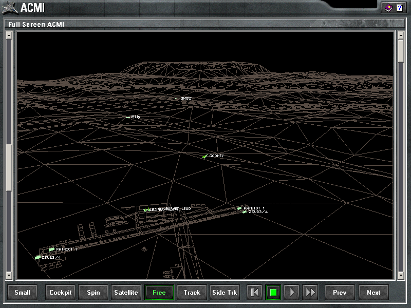
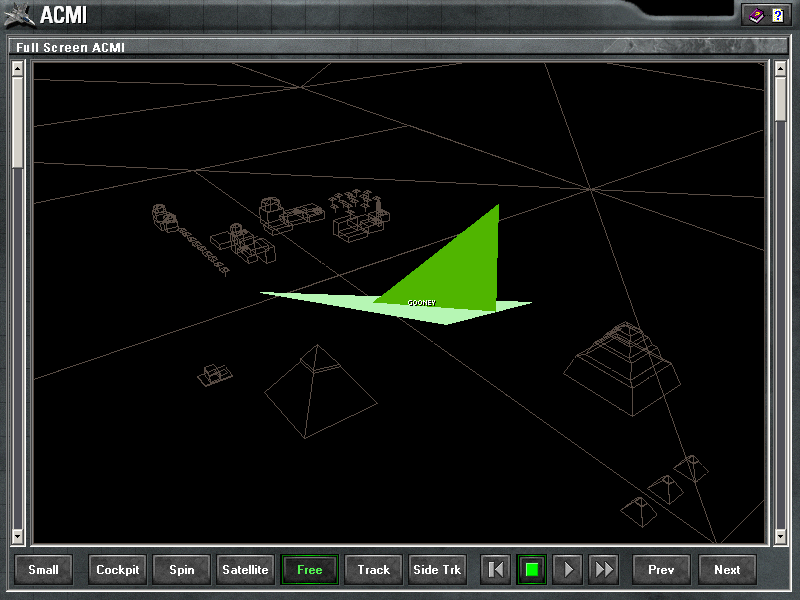
One of the ultimate goals is to pull off what TSH did with the Baltimore Jane’s sims, adding the previous theater to the newer sim (and I believe EF2000 covers the same size area as TAW).
I also predict much nicer colors are coming (i.e. no more washed out MFDs). Also some of the atmospheric gloom from EF2000 is coming, the skies can’t be bright and sunny ALL the time, even over the Red Sea!
Anyway, just a little update.
bored, I’m back to Programming 101 … learning how to work with binary files (not just text based). I believe it’ll help with our collaborations.
Also, the ACMI Recorder is EXCELLENT for reviewing a mission when writing a campaign AAR! I’ve even included pressing the toggle for Record in the up-front panel as part of my ramp start procedure.
