Thanks guys,
DrKevDog…but what about the canards and rudder implementation?
Now, there’s a good question.
The reason I did this exercise now was because Polak mentioned f22.ssd in another thread. When I looked at this, I noticed it didn’t contain references to any of the F22 control surfaces, f22_23.3 etc.
So is the F22 made up of more than one ssd at the highest LOD? Maybe not, otherwise I’d expect to see the F22 rudders and elevators (flaperons?) superimposed on the EF2000 since I’m still using f22.ssd with efa.3. So how are the control surface .3 files accessed? I don’t know. It’s possible that one .3 file can call another, but I haven’t seen a mechanism for that before.
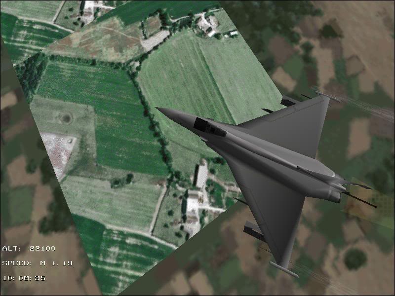
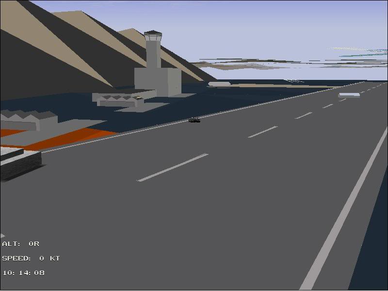
What we do see on the above picture, is the F22 pylons, but maybe that is to be expected if the pylons are separate objects called up in f22.ssd. Those screenshots were taken in the take off
training mission. It’s quite amusing the see the EF2000 with the standard F22 weapon loadout for this mission. Each rocket pod is about the same size as the EF2000 wing. I guess the F22 is bigger than the EF2000 in real life, but I suspect the model scaling between the two games isn’t the same.
Another question relates to the cockpit. Where is the layout described? Thanks to MGonzales’ investigation we know that a lot of the behaviour is controlled by the files in the huddle folder, but not how the whole cockpit goes together. I thought it might have been the main .3 file (f22usa2.3) but after replacing it with efa.3 the standard F22 cockpit was still used.
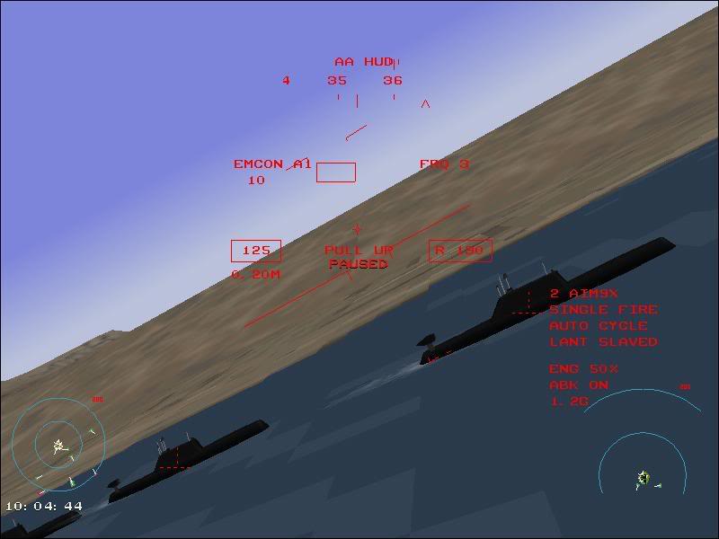
 The AKULA and VANGUARD class vehicles are pictured in the EF2000 MANUAL as Submarines, as well they are and should be. For some unexplained reason DID converted both of them to the exact same image as the Kirov (Kirov-Class Cruiser) in TAW. WHY?